
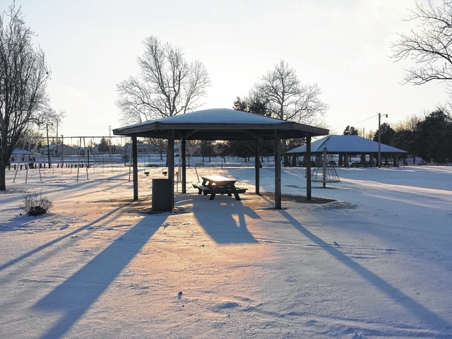
Fayette County has been blanketed in snow over the past several days, and more snow could be on the way this weekend.
Several accidents occurred because of the weather this week, according to Fayette County Sheriff Vernon Stanforth. No serious injury has come from these accidents, but plenty of property and vehicle damage did occur, which could be avoided Stanforth suggests.
“Where we have snow on back roads and other places, it can blow up quickly and white-out visibility,” Stanforth said during an interview Tuesday evening. “We are now seeing the first cold snap of the season and drivers should remember to take their time. Drive slow, if the speed limit says 55 you do not have to go 55. It is better to just watch the roads and take it easy.”
Stanforth said that exposure in this type of weather, wind blowing and single digit temperatures, could cause serious issues. With some melting occurring during the day, these temperatures will cause ice to form on the roadways. He said it is better to just stay home if possible.
Throughout Tuesday evening, the county had occasional flurries with a low temperature of about seven degrees and winds traveling at 15 to 25 miles per hour. Today, temperatures are predicted at a high of 23 degrees and a low of 19, according to weather.com. The weather should be mostly sunny during the morning hours but should become overcast in the afternoon with winds blowing at about 10 to 15 miles per hour. Overnight, snow showers or flurries will pick up until about midnight and winds will be blowing up to 20 miles per hour.
Thursday is anticipated to be slightly warmer with a high temperature of 41 degrees with cloudy skies that will dissipate periodically. Thursday night will also have cloudy skies and could get as cold as 33 degrees. For Friday, rain is predicted throughout the day with high temperatures around 43 degrees. The night time will have rain as well, but will be cooler at around 32 degrees and winds blowing upwards of 20 miles per hour.
Saturday will be cloudy with a few scattered snow showers in the morning and winds blowing up to 20 miles per hour. Saturday night will continue to be cloudy with a low temperature of 18 degrees. Expect winds to slow down overnight. On Sunday, there will be additional snow showers in the morning, and will only reach temperatures as high as about 20 degrees. The night time is currently looking clear, with no clouds, but a cold temperature of four degrees combined with up to 20 miles per hour wind could make it feel even colder.