
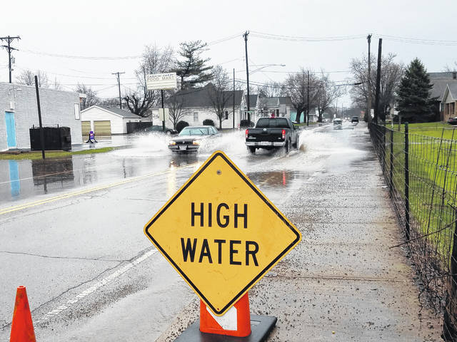
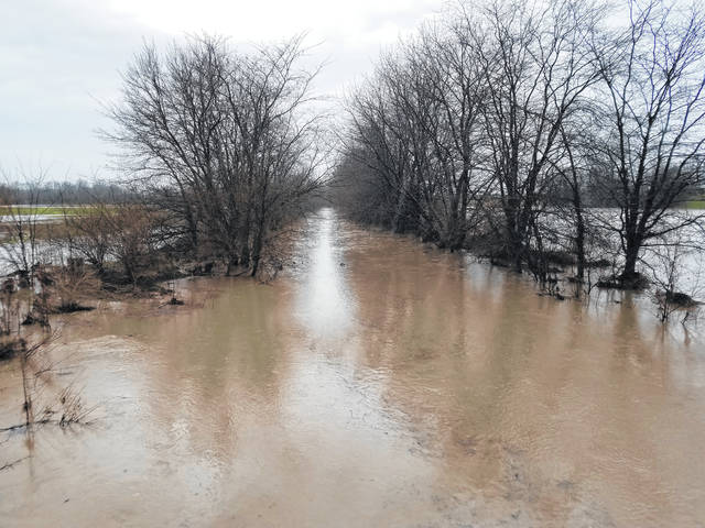
A torrential downpour soaked Fayette County overnight and throughout the morning Tuesday and caused hazardous high water conditions on several roadways.
“We do have roads that have some water cover and we posted high water signs in the areas that are prone to high water,” said Fayette County Sheriff Vernon Stanforth early Tuesday afternoon. “To my knowledge, there hasn’t been any significant flooding, but we are supposed to get more thunderstorms (Tuesday night).”
Compounding potential flooding problems, the county was placed under a tornado watch until 8 p.m. Tuesday. A tornado warning was in effect until 5:15 p.m.
More thunderstorms and winds of up to 30 miles per hour were forecasted for the area throughout the night and early morning Wednesday.
“Anytime there is a potential for 20 to 30 mile per hour winds, that could be a problem,” said Stanforth.
Fayette County Engineer Steve Luebbe said Tuesday all of the high water signs they have were out to warn drivers of potential hazards.
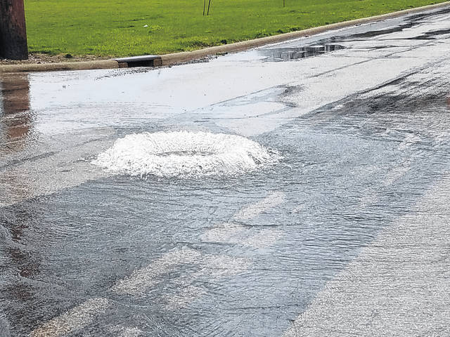
“When you get the ground saturated and you get several more inches of rain, there is just no place for it to go,” Luebbe said. “And if you have culverts that are partially blocked for whatever reason, dry culverts or culverts under the road that work in normal rain, they just don’t work in times like now and that is something you just deal with. So we are putting signs up and we will leave them up until the water subsides.”
Luebbe said there is nowhere in the county they considered to be impassable or overly dangerous.
“Sometimes we have those creeks that flood the road for a couple hundred feet long and a few inches deep that you have to watch,” Luebbe said. “Pay extra attention, especially at night time, if the water is still up and hopefully we have signs at all of the bad locations, but there are some that we don’t. Just be extra vigilant while driving.”
On Wednesday, it’s expected to be cloudy and windy with a high of 40 and a low of 27 degrees, according to weather.com.